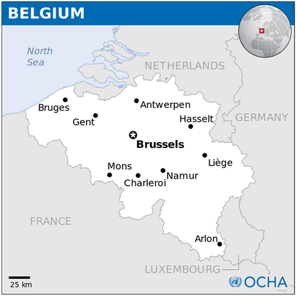
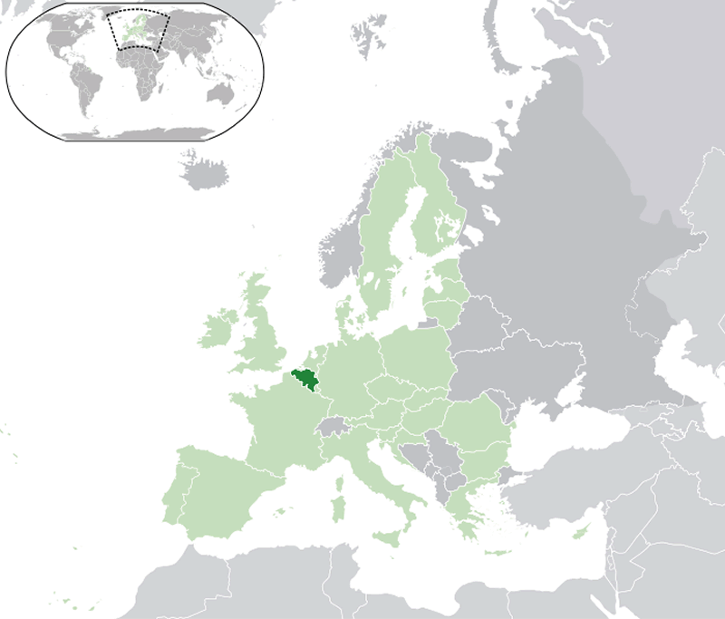
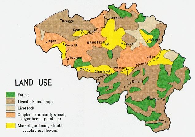
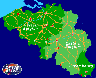
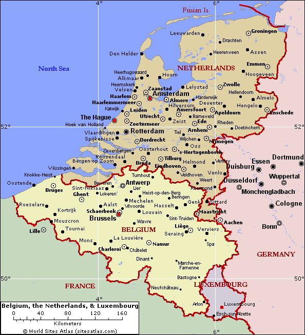
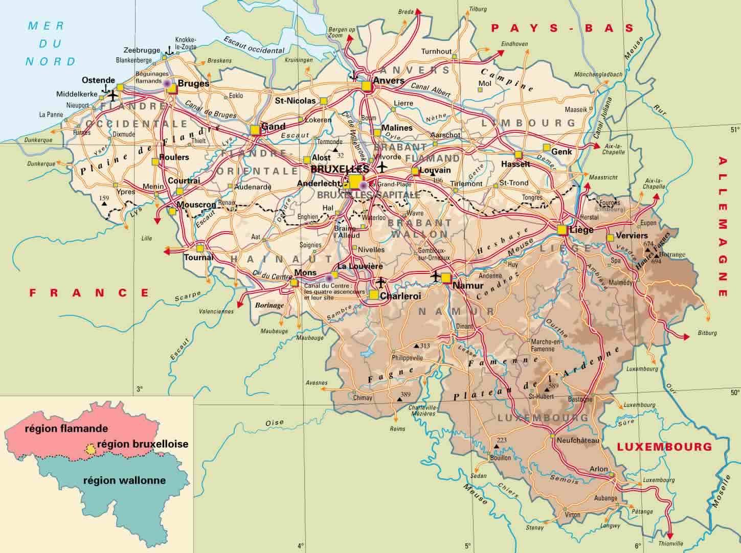
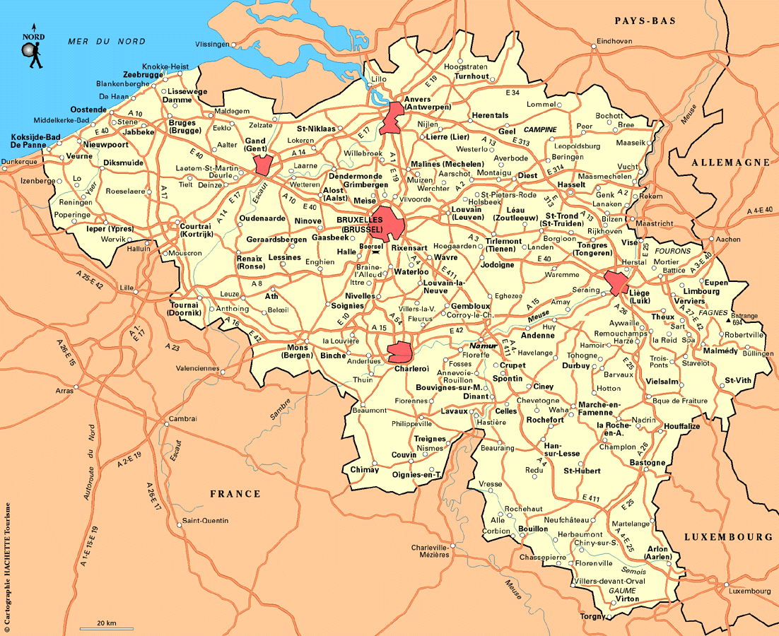
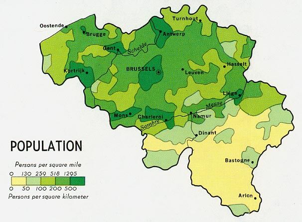
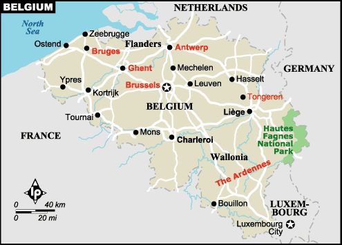
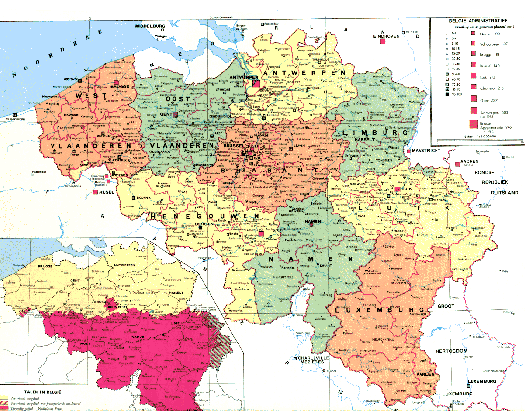
Belgium Map
world map » europe map » belgium map
Belgium Map
Navigate Belgium Map, Belgium countries map, satellite images of the Belgium, Belgium largest cities maps, political map of Belgium, driving directions and traffic maps.
Click for Content Detail »
Belgium

- Capital : Brussels
- Population : 11,041,266
- GDP : $513.396 billion (21st)
- Per Capita : $46,878 (16th)
- Calling Code : +32
- Jobless Rate : 7.40%
- Time Zone : +1
For more about Belgium >>
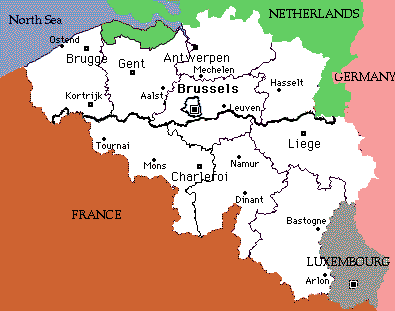
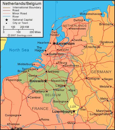
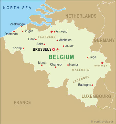
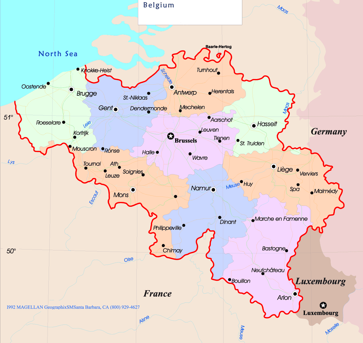
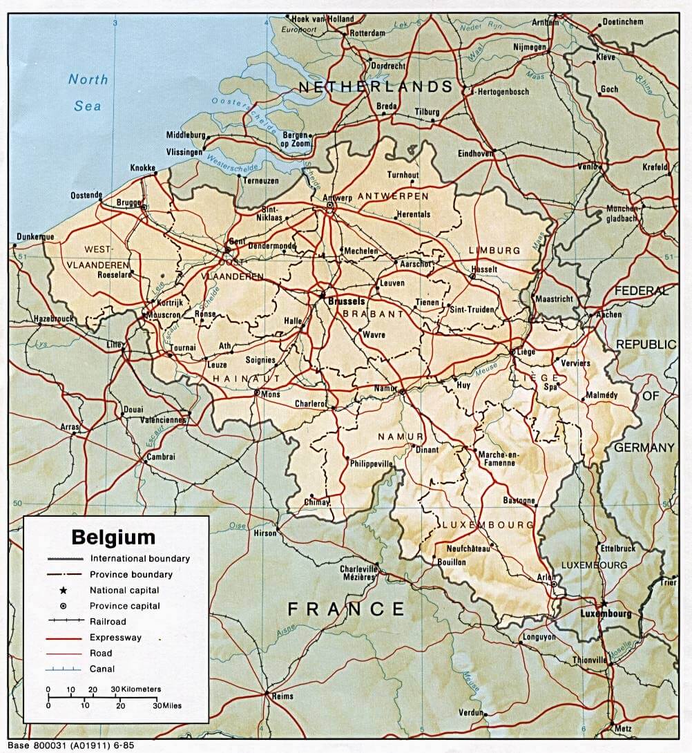
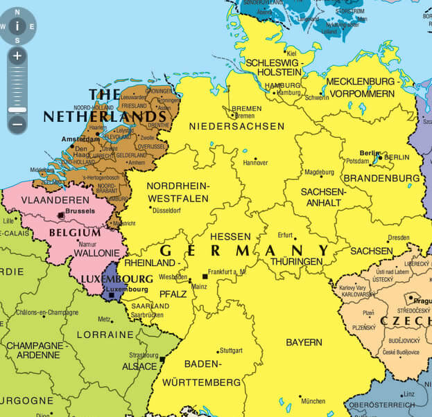
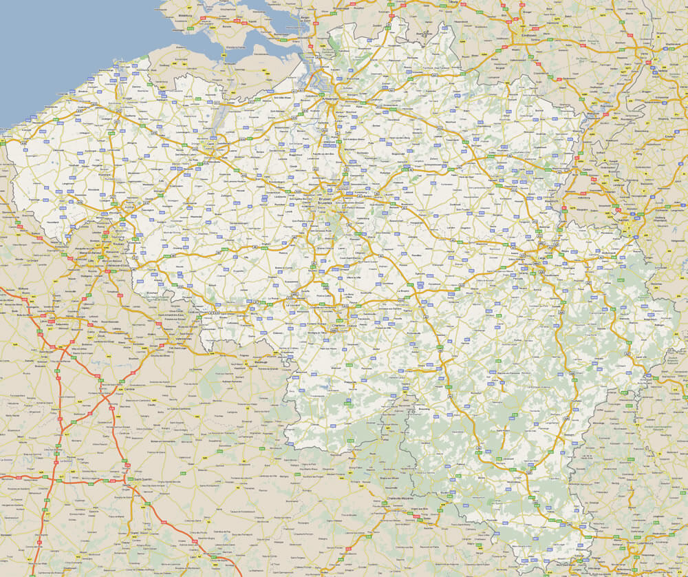
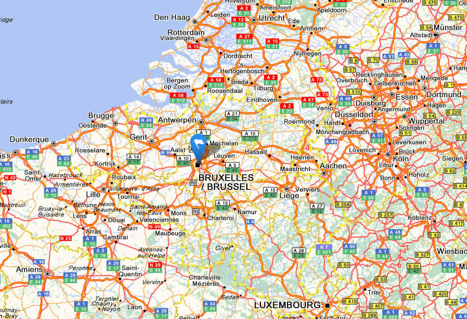
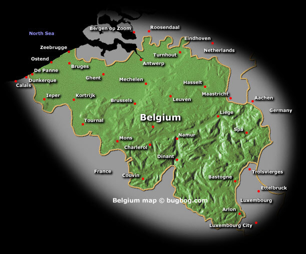
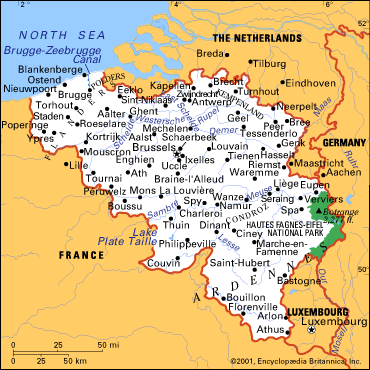
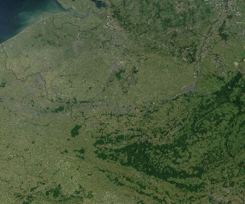
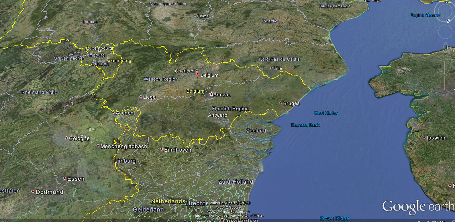
Belgium Map & Belgium Satellite Images
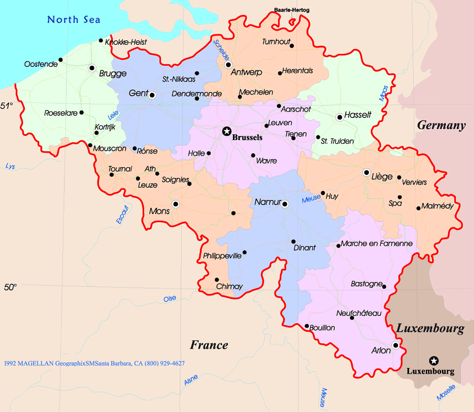
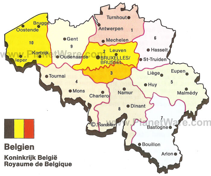
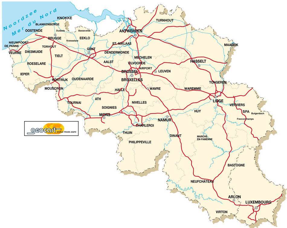
Largest Cities Map of Belgium
» Halle Map - » Aalst Map - » Roubaix Map - » Tournai Map - » Ath Map - » Huy Map - » Mechelen Map - » Oostende Map - » Verviers Map - » Turnhout Map - » Kortrijk Map - » Antwerpen Map - » Gent Map - » Charleroi Map - » Brugge Map - » Bruxelles Map - » Liege Map - » Schaerbeek Map - » Namur Map - » Anderlecht Map - » Leuven Map - » Mons Map -A Collection of Belgium Maps and Belgium Satellite Images
Click for Google Map »
Where belgium on World Map