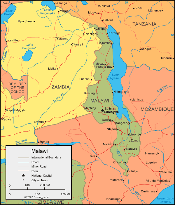
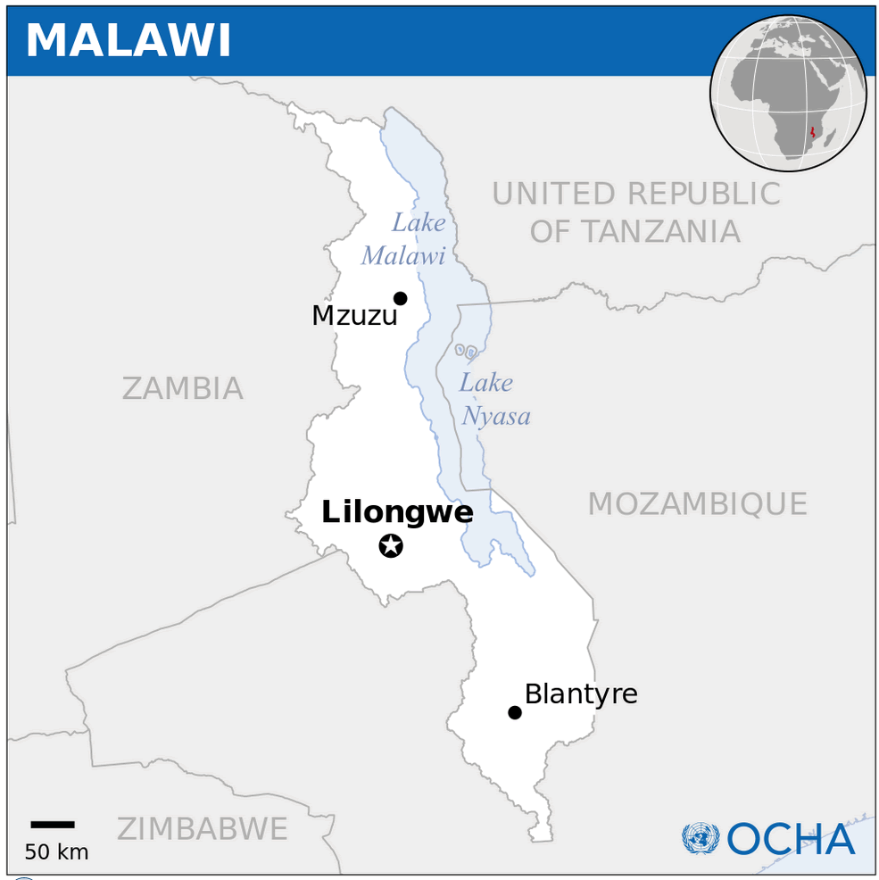
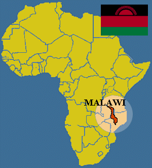
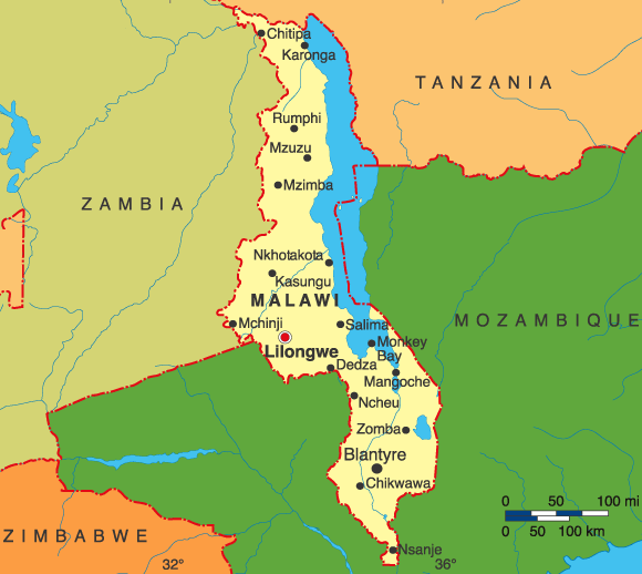
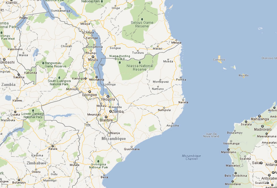
Malawi Map
world map » africa map » malawi map
Malawi Map
Navigate Malawi Map, Malawi countries map, satellite images of the Malawi, Malawi largest cities maps, political map of Malawi, driving directions and traffic maps.
Click for Content Detail »
Malawi

- Capital : Lilongwe
- Population : 14,901,000
- GDP : $5.673 billion
- Per Capita : $351
- Calling Code : +265
- Jobless Rate : 3.00%
- Time Zone : +2
For more about Malawi >>
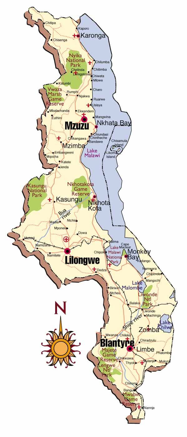
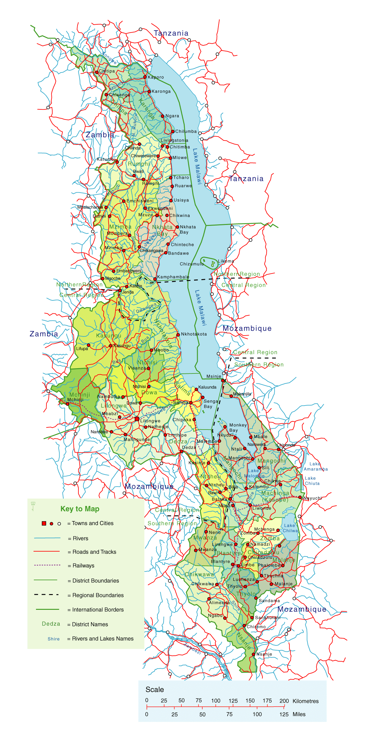
Malawi Map & Malawi Satellite Images

Largest Cities Map of Malawi
» Blantyre Map - » Lilongwe Map - » Mzuzu Map - » Zomba Map -A Collection of Malawi Maps and Malawi Satellite Images
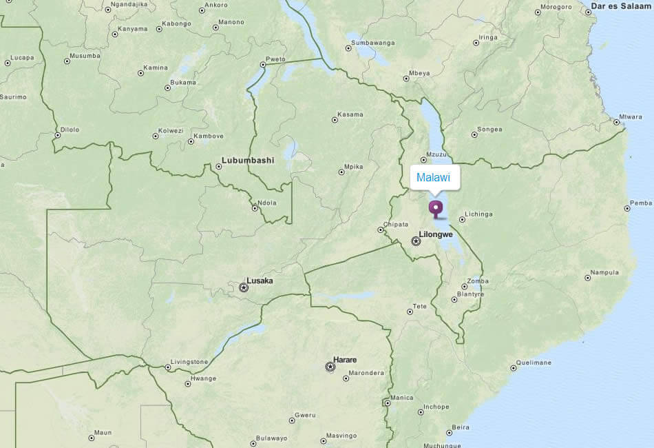
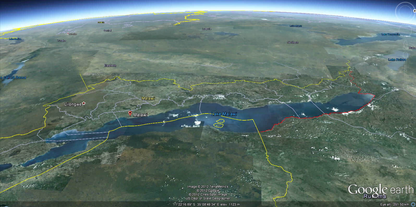
Click for Google Map »
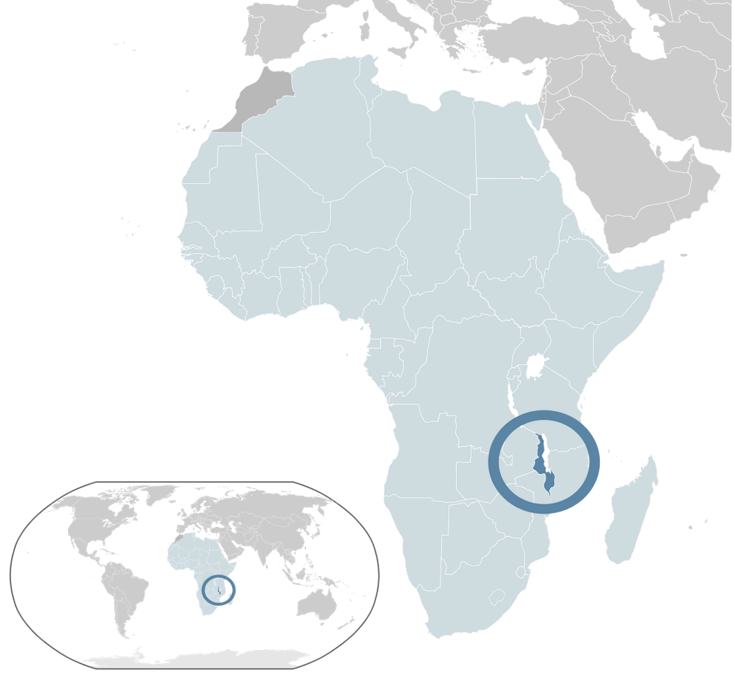
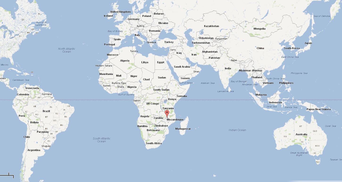
Where malawi on World Map