Wyoming Map
Navigate Wyoming Map, Wyoming states map, satellite images of the Wyoming, Wyoming largest cities maps, political map of Wyoming, driving directions and traffic maps.
For all Wyoming Cities Map
MAP OF WYOMING
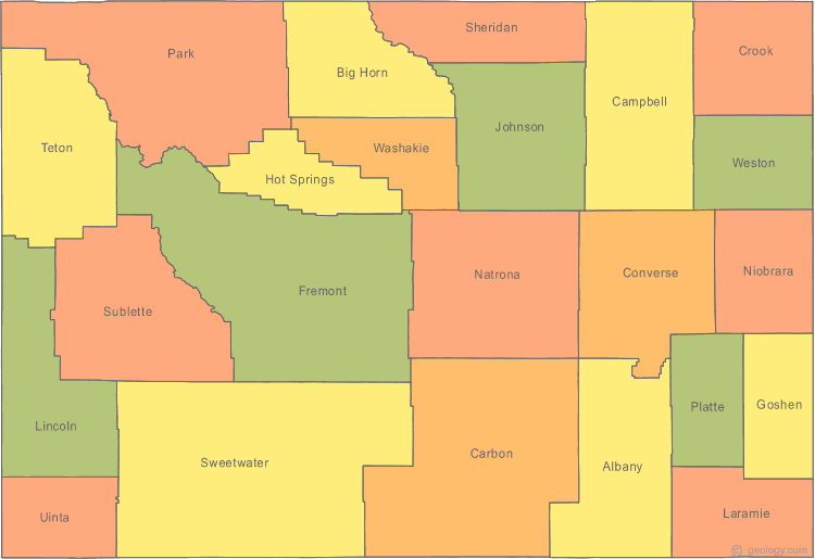
WYOMING MAPS
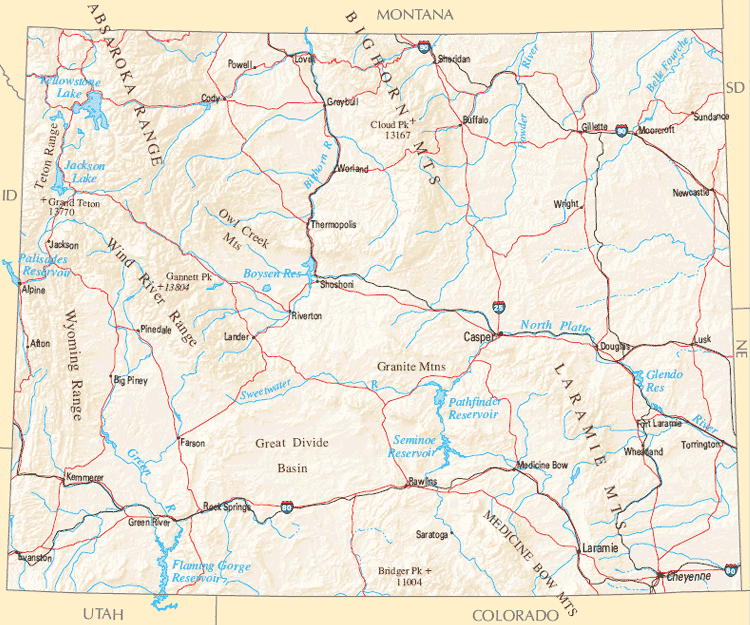
A Collection of Wyoming Maps and Wyoming Satellite Images
MAP OF WYOMING

MAP OF WYOMING

WYOMING MAP
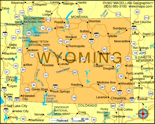
WYOMING MAPS

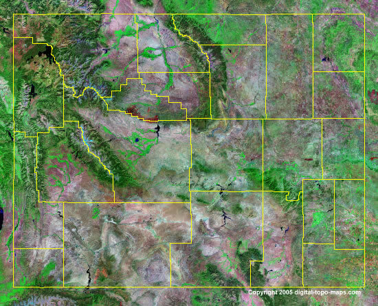
WYOMING SATELLITE MAP
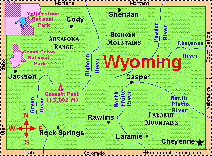
WYOMING CITY MAP
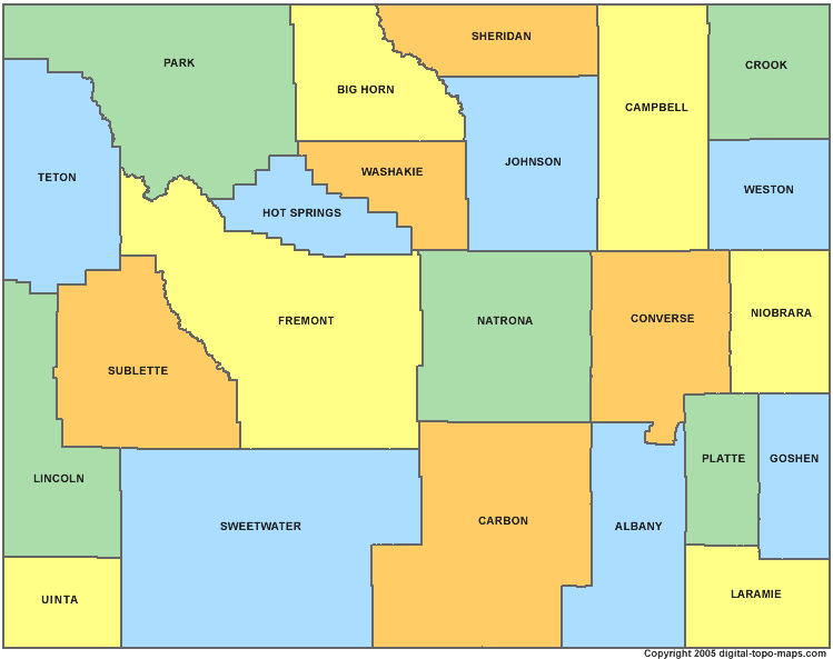
WYOMING COUNTY MAP
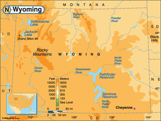
WYOMING ELEVATION MAP
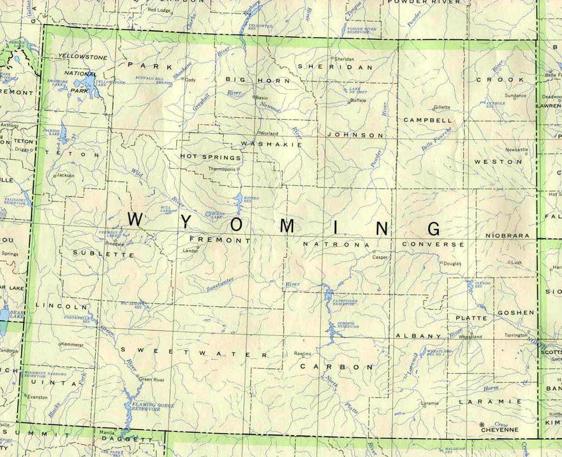
WYOMING HISTORICAL MAP
WYOMING MAP
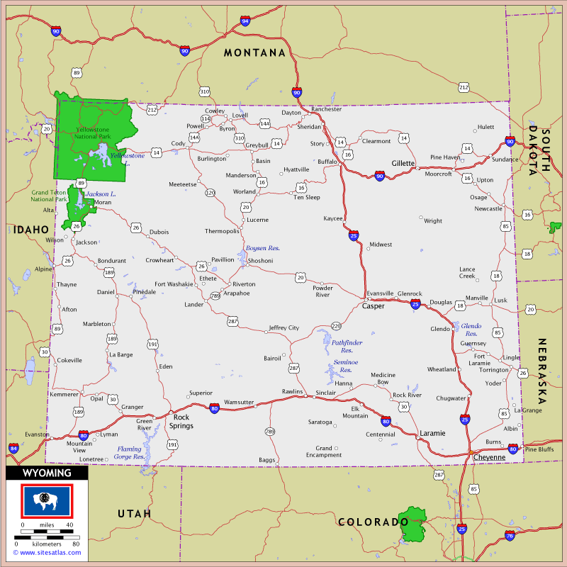
WYOMING MAP CASPER

WYOMING MAPS
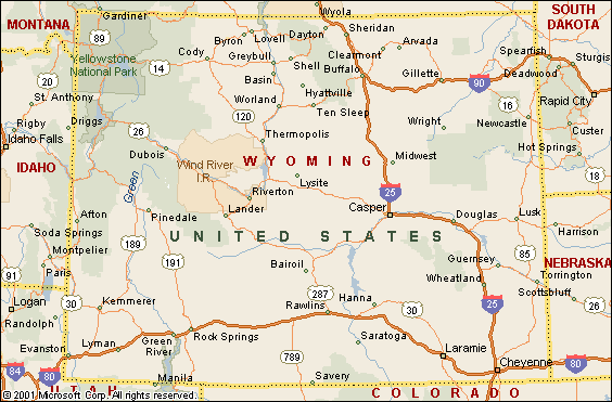
WYOMING NATIONAL PARK MAP
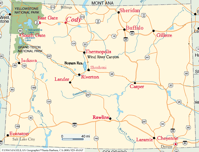
WYOMING PHYSICAL MAP
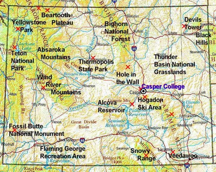
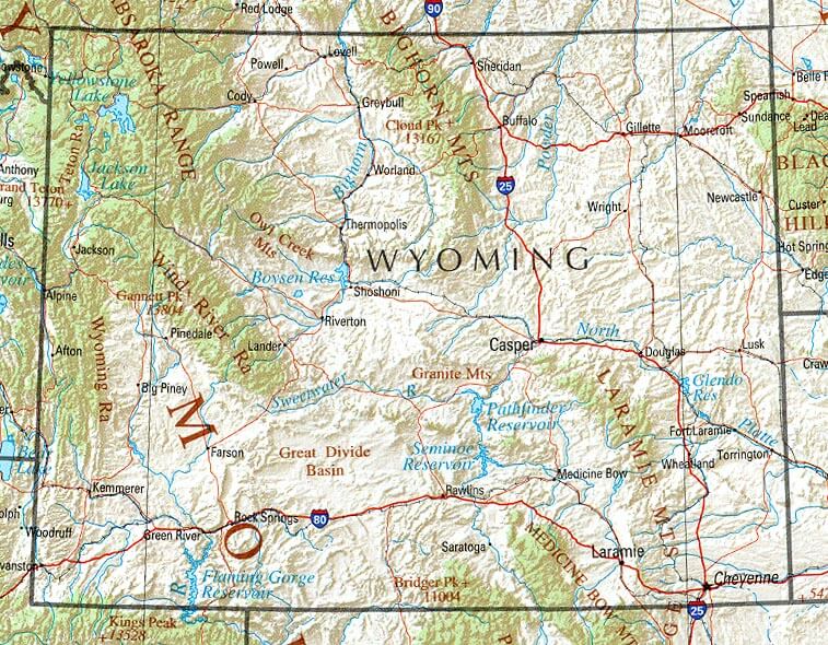
WYOMING REFERENCE MAP
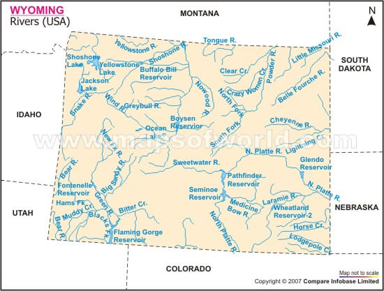
WYOMING RIVER MAP
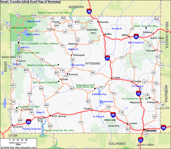
WYOMING ROAD MAP
A collection of Wyoming Maps
Largest Cities Map of Wyoming and Population
Cheyenne Map - 59,466 Casper Map - 55,316 Laramie Map - 30,816 Gillette Map - 29,087 Rock Springs Map - 23,036 Sheridan Map - 17,444 Green River Map - 12,515 Evanston Map - 12,359 Riverton Map - 10,615 Jackson Map - 9,577 Cody Map - 9,520 Rawlins Map - 9,259 Lander Map - 7,487 Torrington Map - 6,501 Powell Map - 6,314 Washington DC Map - 0Copyright GuideofTheWorld.Net 2006 - 2025. All rights reserved. Privacy Policy | Disclaimer


