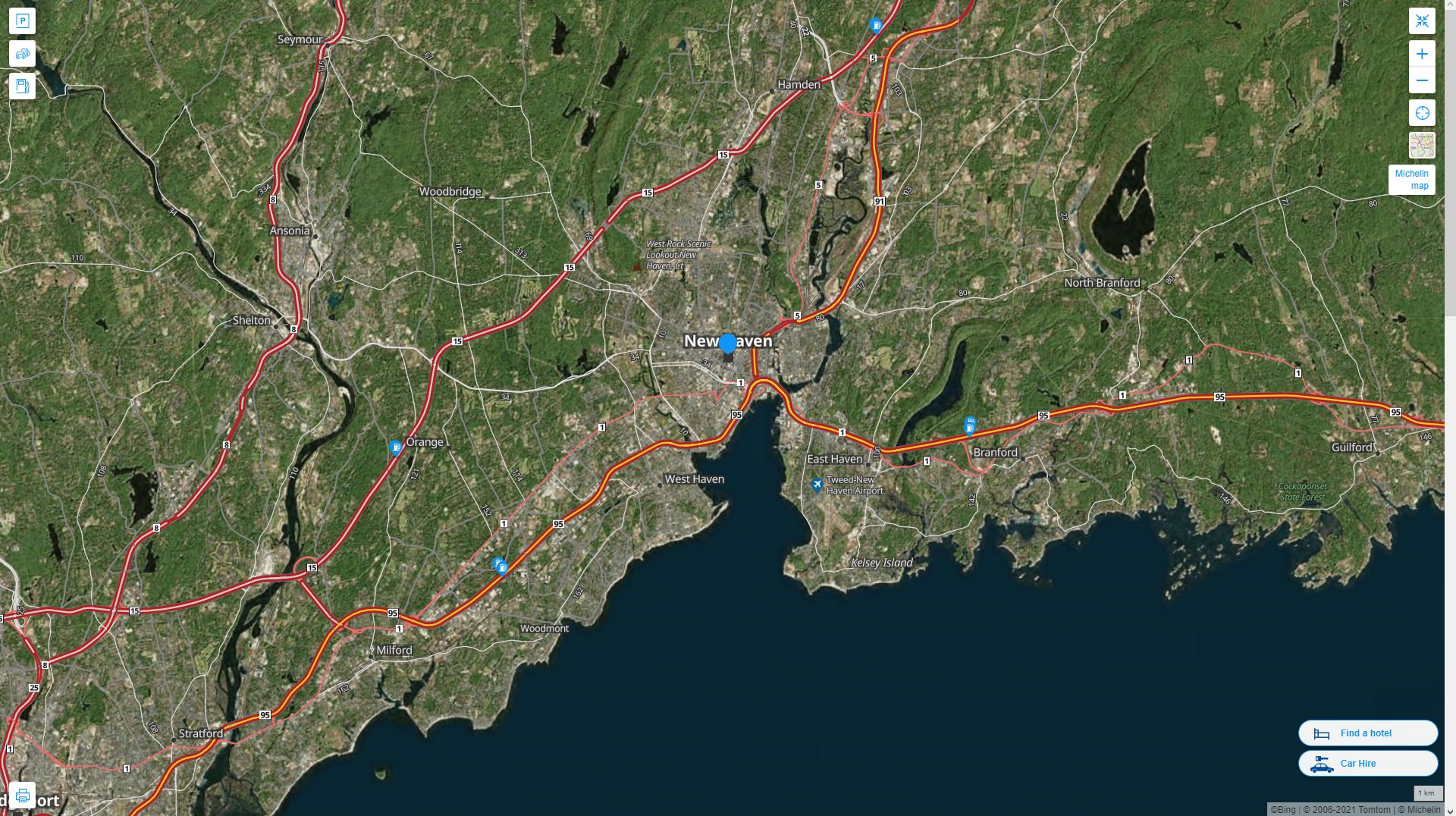
Map of New Haven Connecticut, United States
Navigate New Haven Connecticut map, New Haven Connecticut country map, satellite images of New Haven Connecticut, New Haven Connecticut largest cities, towns maps, political map of New Haven Connecticut, driving directions, physical, atlas and traffic maps in United States.
New Haven Connecticut City Town Maps
NEW HAVEN MAP

A Collection of New Haven Connecticut Maps and New Haven Connecticut Satellite Images
NEW HAVEN MAP

NEW HAVEN AREA MAP CT

NEW HAVEN CITY CENTER MAP CT

NEW HAVEN CONNECTICUT

NEW HAVEN CT

NEW HAVEN DOWNTOWN MAP CT

NEW HAVEN LOCATION MAP CT

NEW HAVEN SATELLITE MAP CT

NEW HAVEN CONNECTICUT HIGHWAY AND ROAD MAP WITH SATELLITE VIEW

NEW HAVEN CONNECTICUT HIGHWAY AND ROAD MAP

Largest Connecticut Cities by Population
Bridgeport Connecticut Map New Haven Connecticut Map Hartford Connecticut Map Stamford Connecticut Map Waterbury Connecticut Map Norwalk Connecticut Map Danbury Connecticut Map New Britain Connecticut Map West Hartford Connecticut Map Meriden Connecticut Map Bristol Connecticut Map West Haven Connecticut Map Stratford Connecticut Map Milford Connecticut Map East Hartford Connecticut MapFor all Connecticut Cities Map
- Head of Performance Marketing
- Head of SEO
- Linkedin Profile: linkedin.com/in/arifcagrici
See Also
New Haven Connecticut Google Map, Street Views, Maps Directions, Satellite Images
guideoftheworld.net offers a collection of New Haven Connecticut map, google map, New Haven Connecticut atlas, political, physical, satellite view, country infos, cities map and more map of New Haven Connecticut.
United States Largest Cities Map by Population
New York City Map Los Angeles Map Chicago Map Brooklyn Map Houston Map Philadelphia Map Manhattan Map Phoenix Map San Antonio Map San Diego Map Dallas Map San Jose Map Jacksonville Map Indianapolis Map San Francisco Map Austin Map Columbus Map Fort Worth Map Charlotte Map Detroit MapCopyright GuideofTheWorld.Net 2006 - 2025. All rights reserved. Privacy Policy | Disclaimer

