
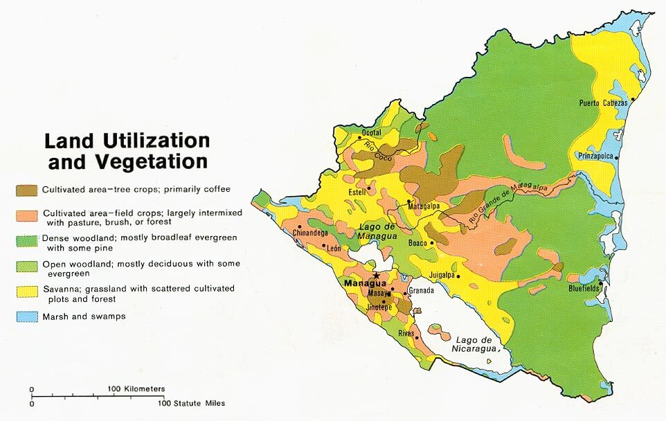
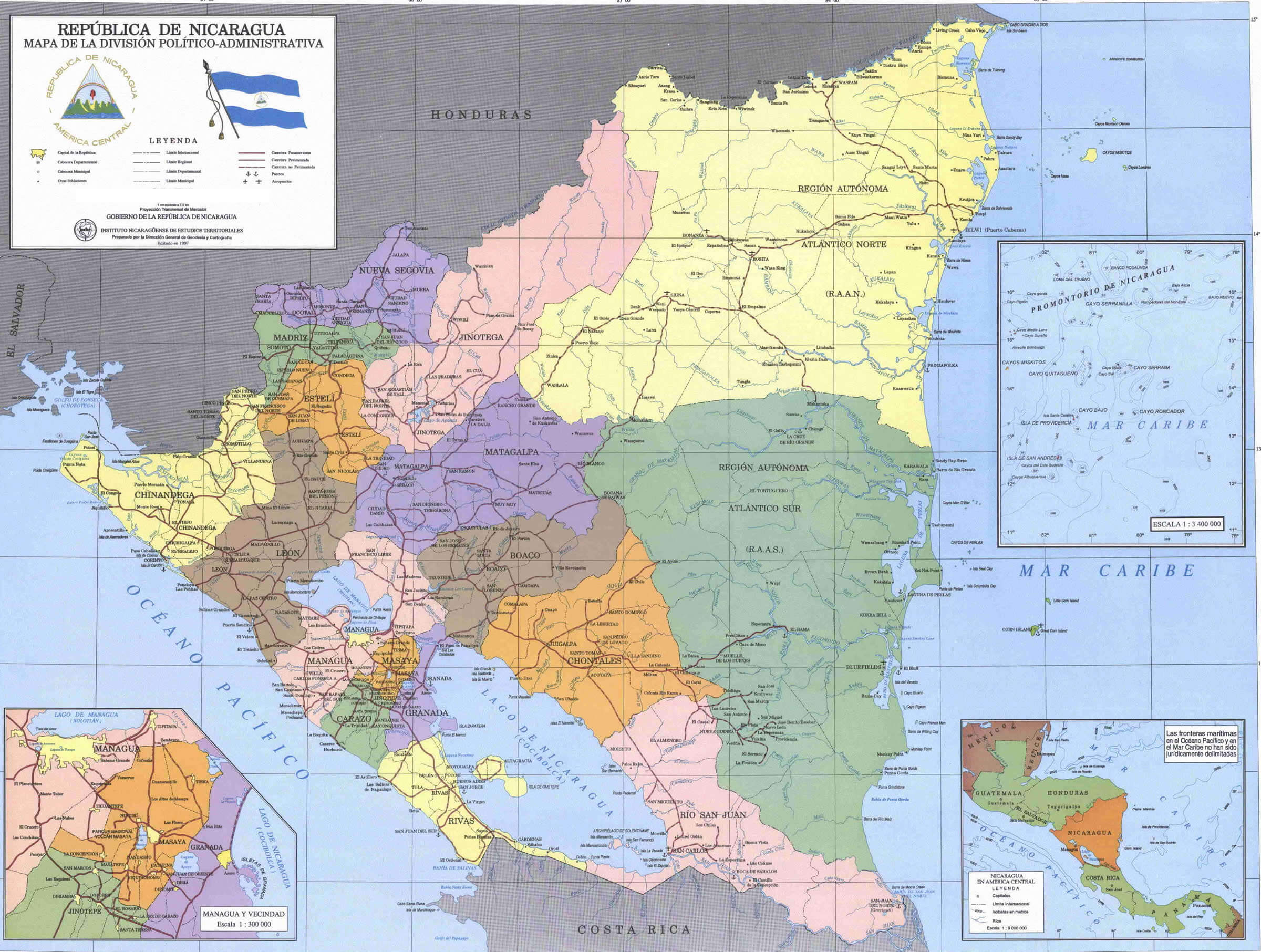
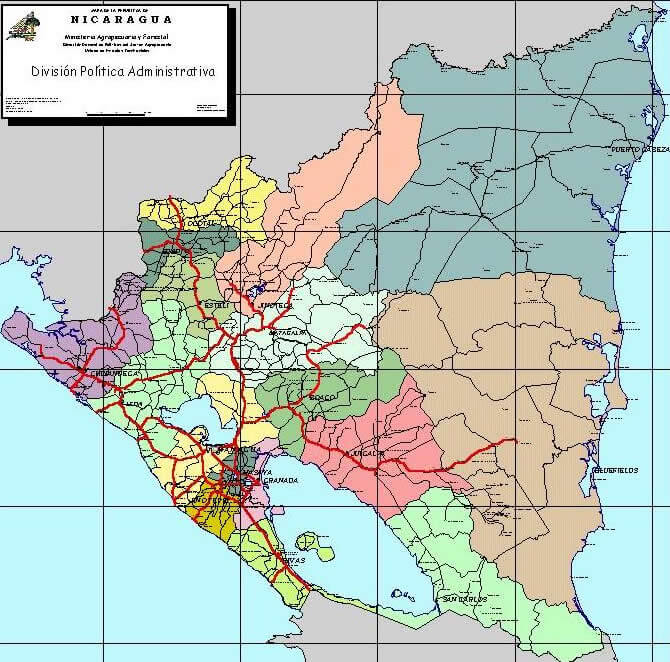
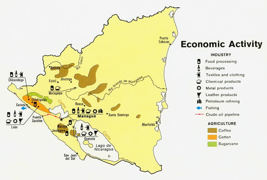
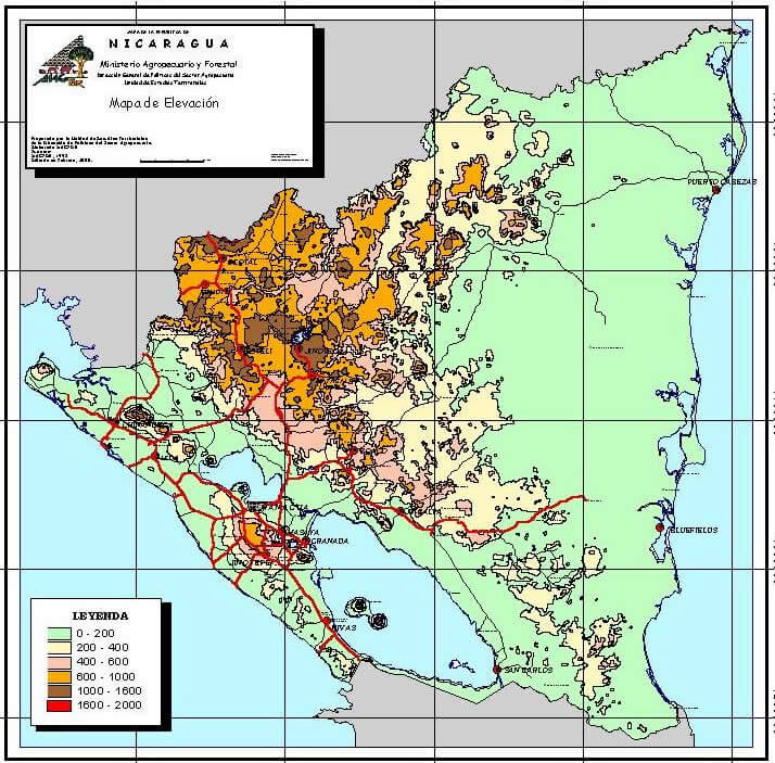
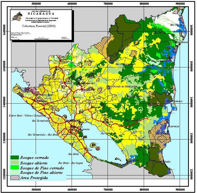
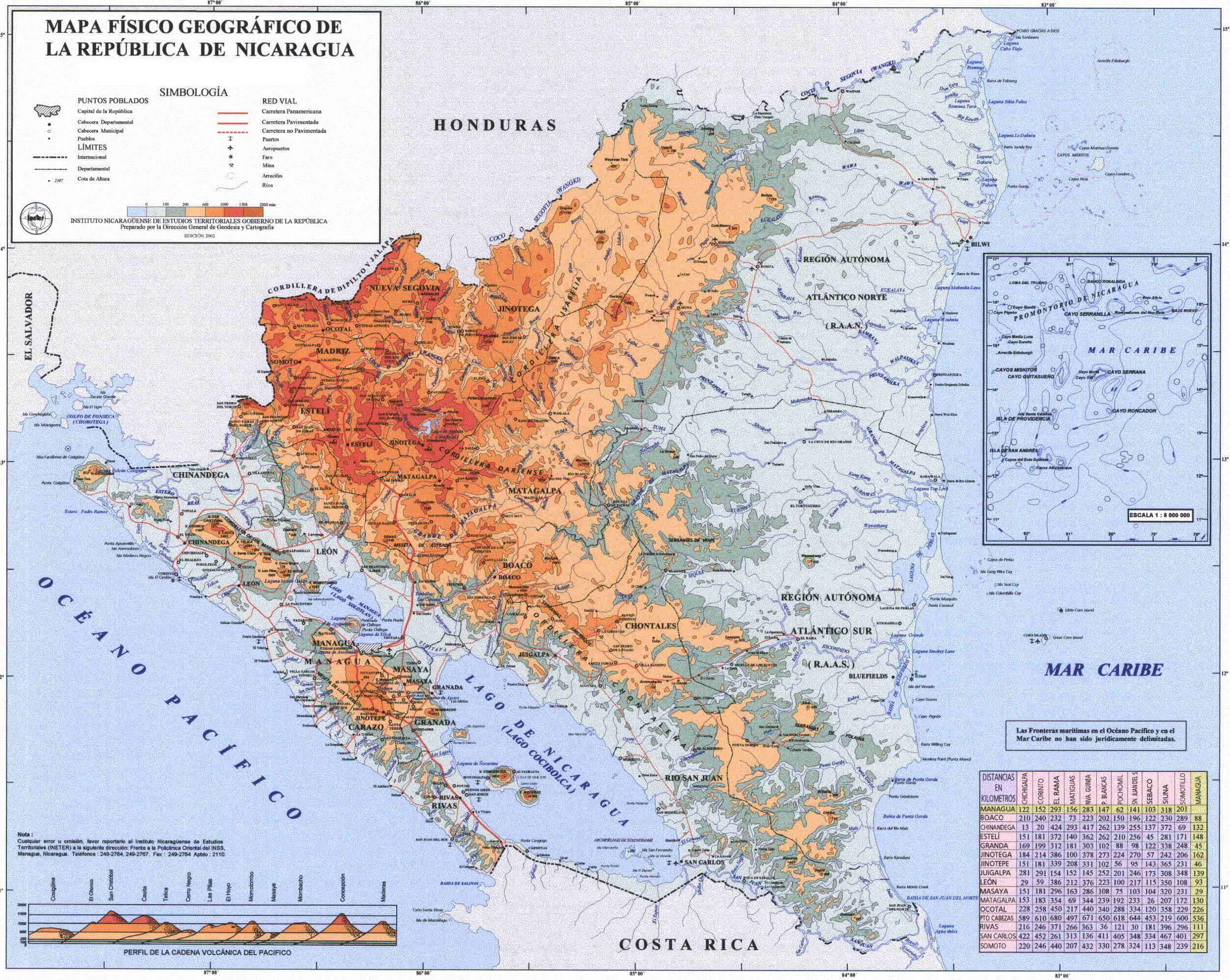
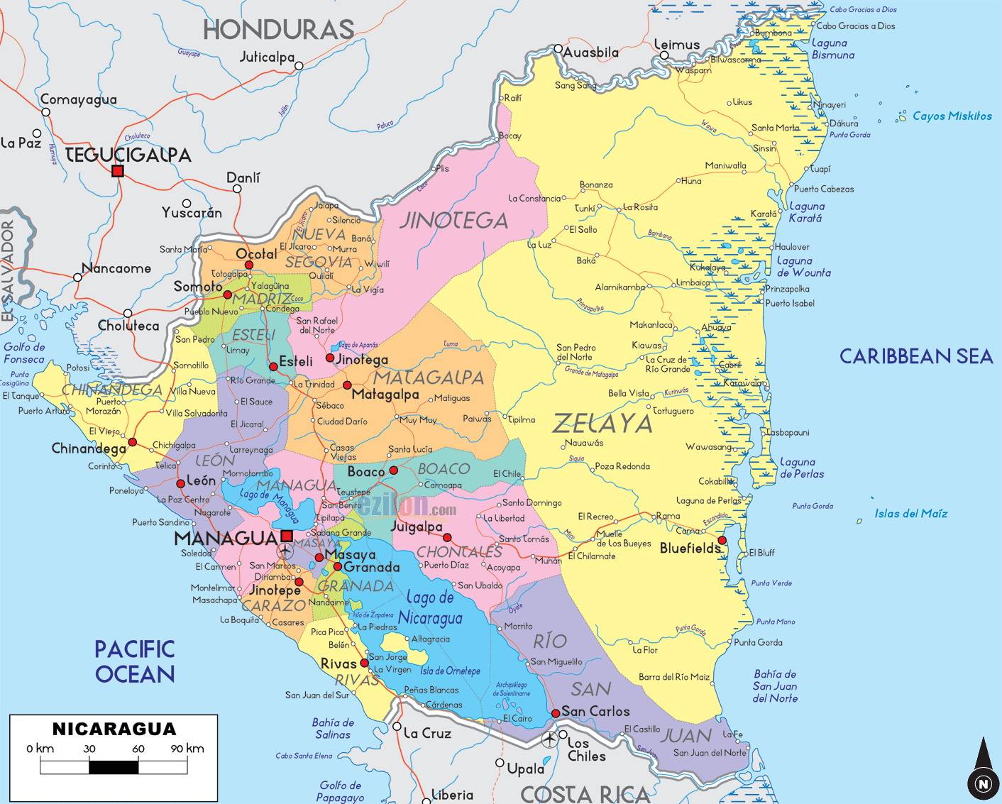
Nicaragua Land Utilization Vegetation Map 1979
Nicaragua Land Utilization Vegetation Map 1979 page, view Nicaragua political, physical, country maps, satellite images photos and where is Nicaragua location in World map.
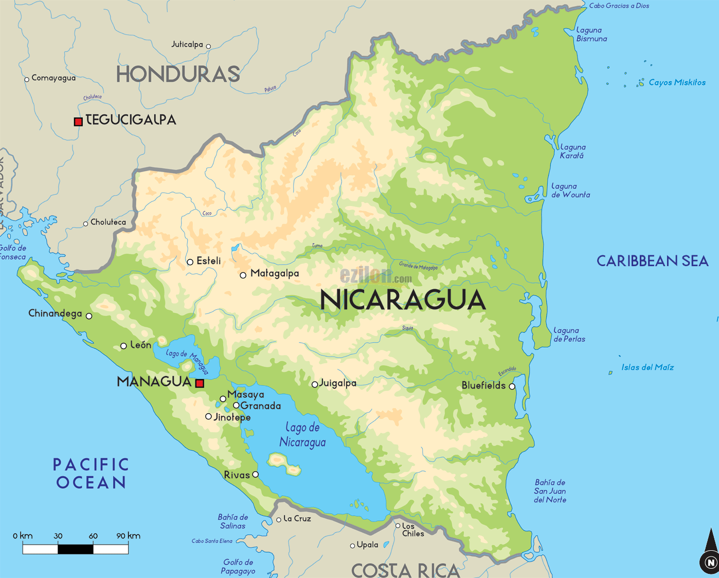
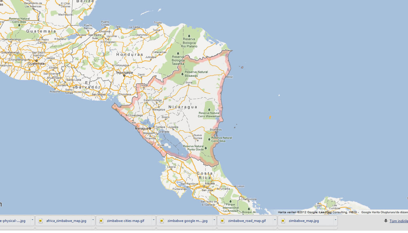
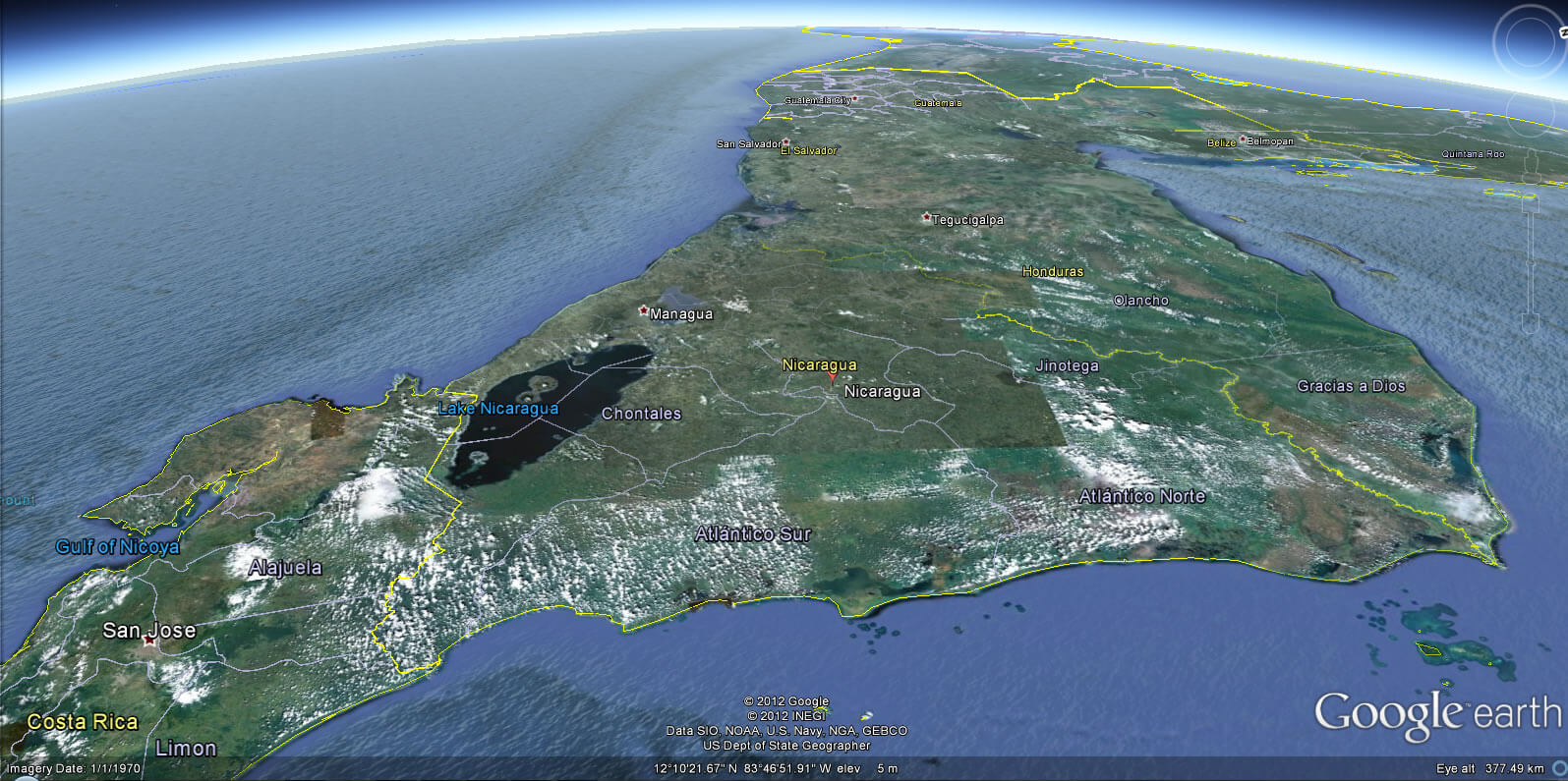
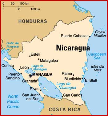
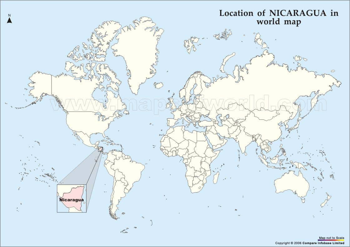
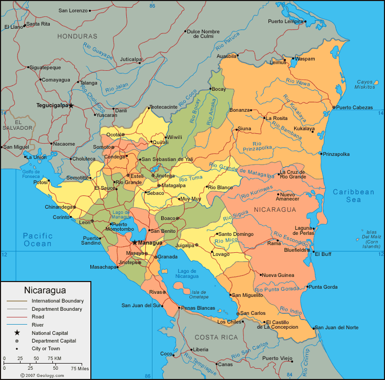
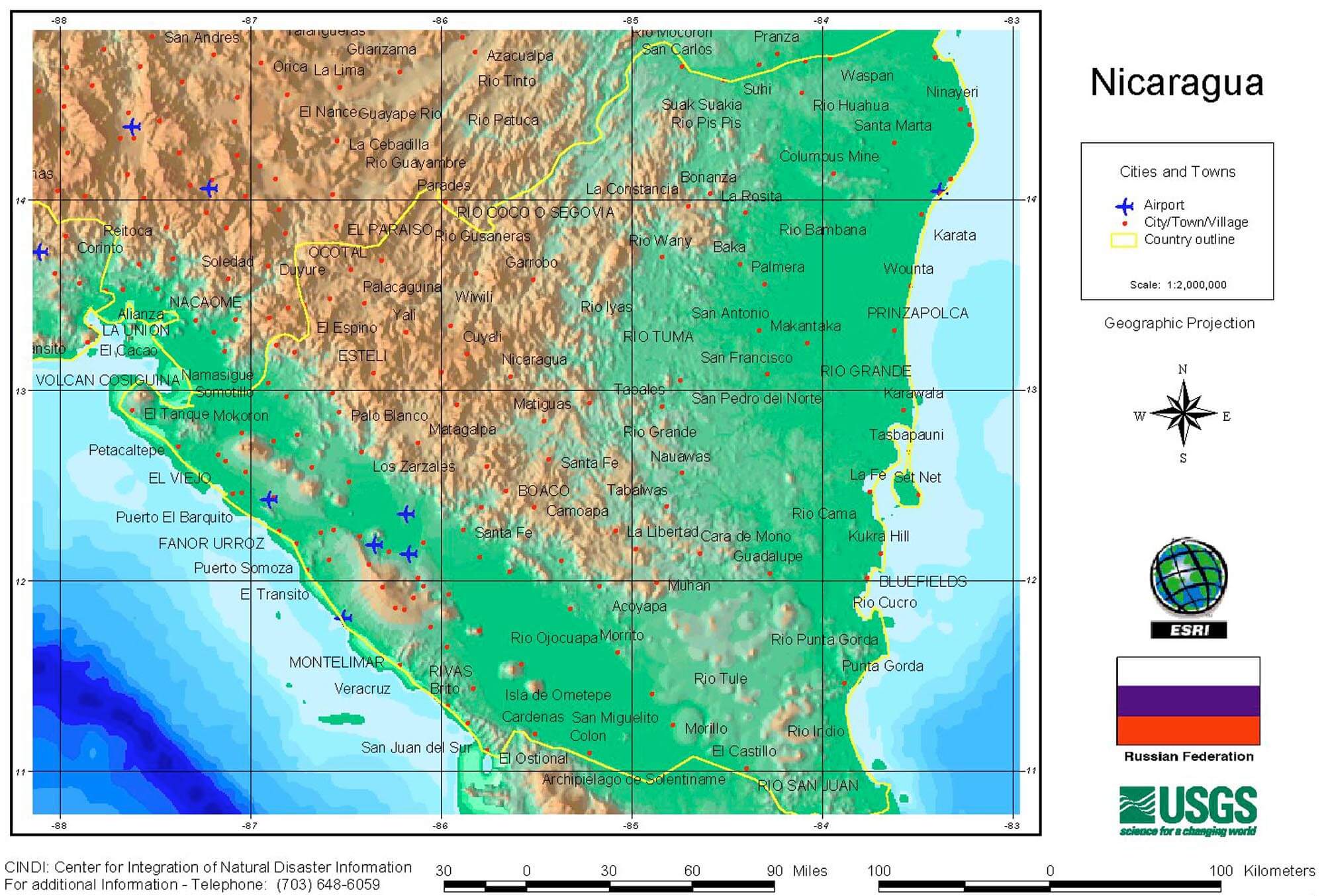
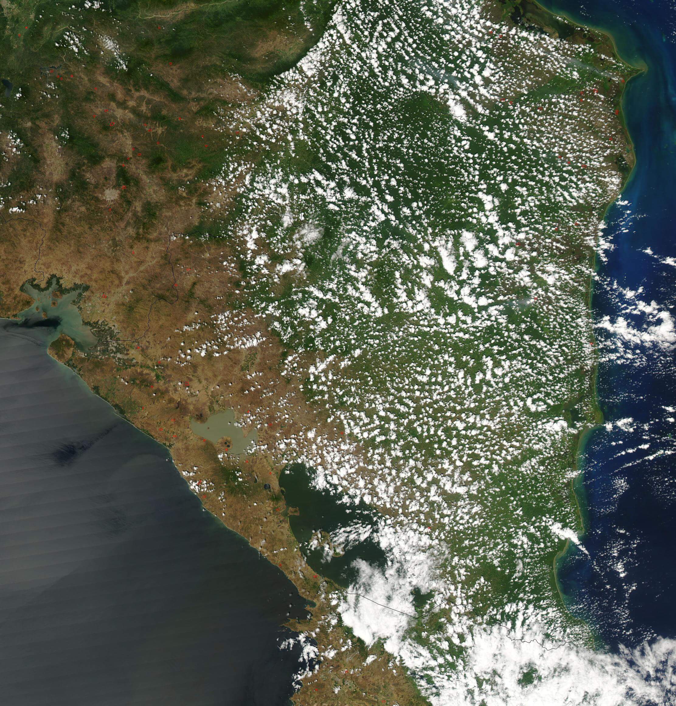
Nicaragua Map & Nicaragua Satellite Images
 ">
">
Nicaragua Land Utilization Vegetation Map 1979 Large Size
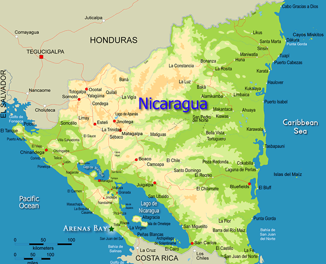
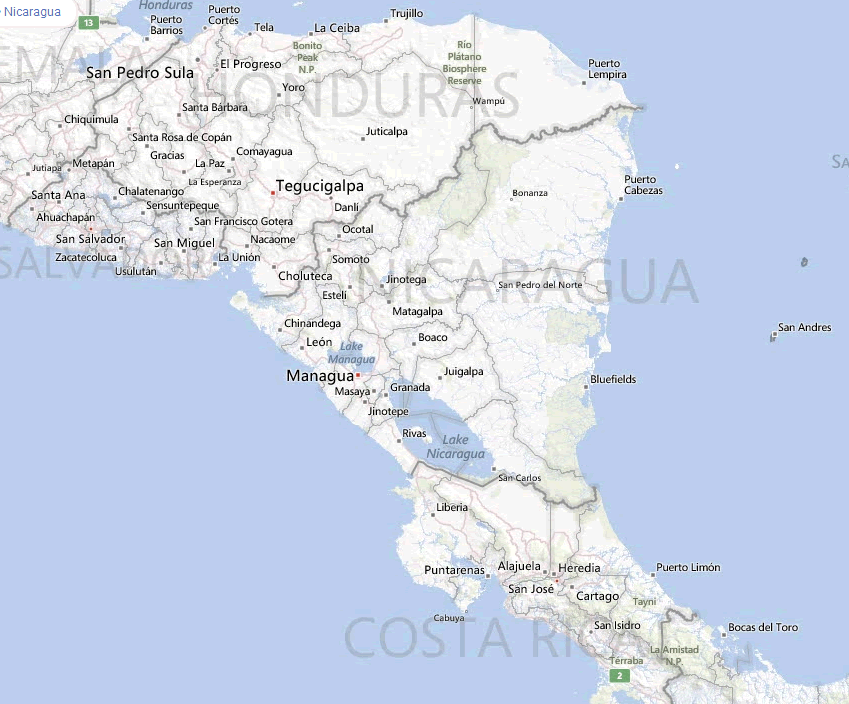
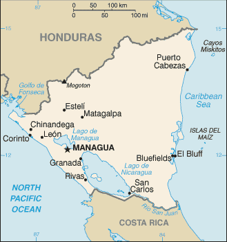
A collection Map of Nicaragua
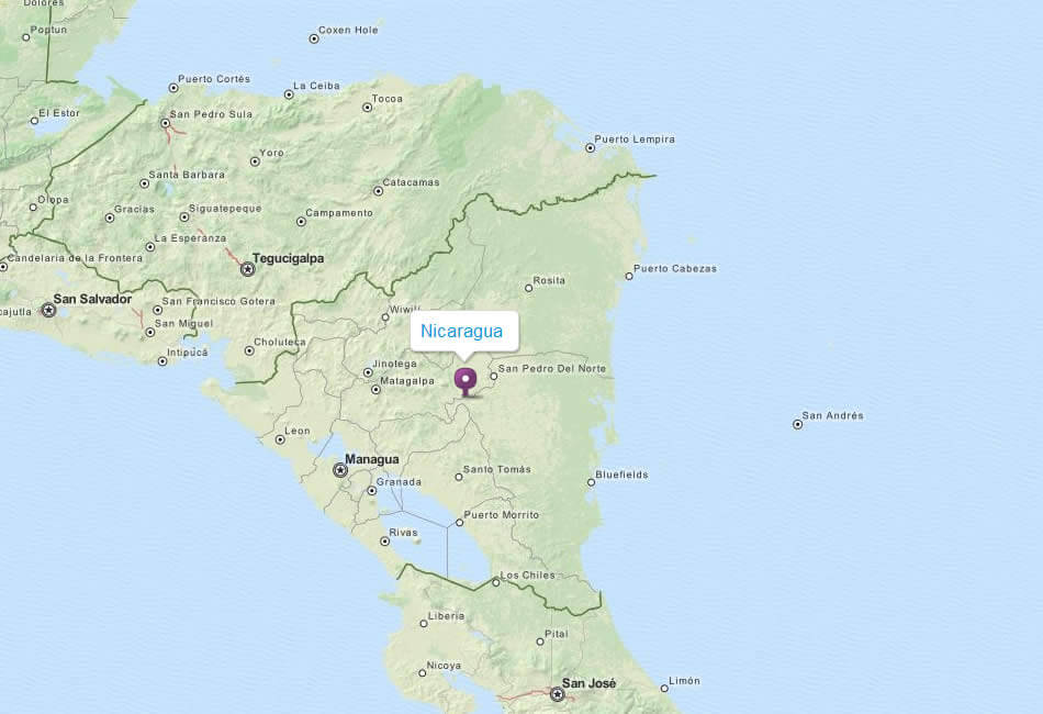

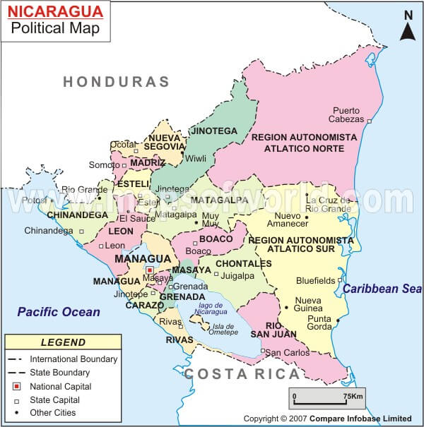
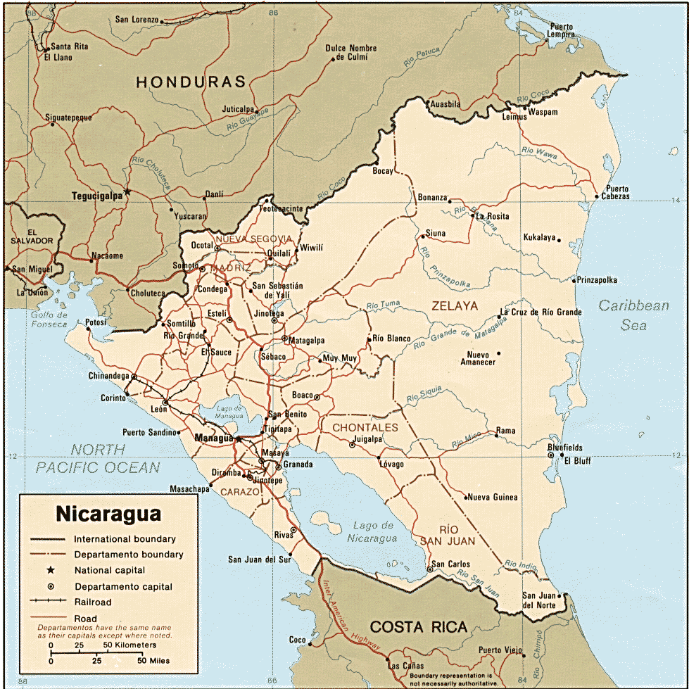

Largest Cities Map of Nicaragua
Google Map, Street Views, Maps Directions, Satellite Images
GuideoftheWorld.net offers a collection of map, google map, atlas, political, physical, satellite view, country infos, cities map and more map of .
Copyright GuideofTheWorld.Net 2006 - 2025. All rights reserved. Privacy Policy | Disclaimer