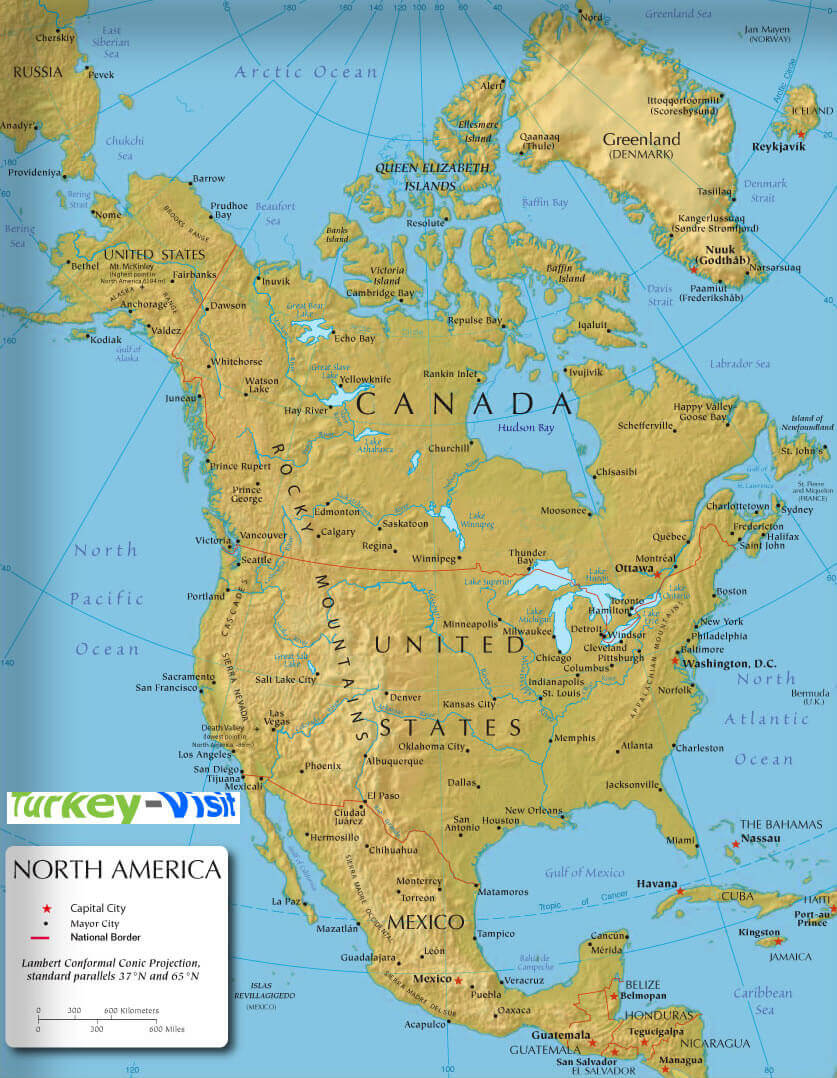
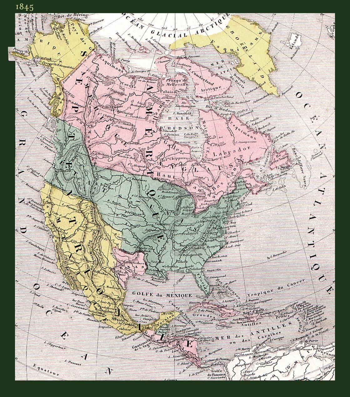
North America historical Map 1845; View Political North America Map with countries boundaries of all independent nations as well as some dependent territories. North America's continents, historical maps, North America spoken languages, physical map and satellite images. A collection of North America Maps; North America countries political map, North America physical map, North America satellite map, North America climate and road maps.


GuideoftheWorld.net offers a collection of map, google map, atlas, political, physical, satellite view, country infos, cities map and more map of .
Copyright GuideofTheWorld.Net 2006 - 2025. All rights reserved. Privacy Policy | Disclaimer