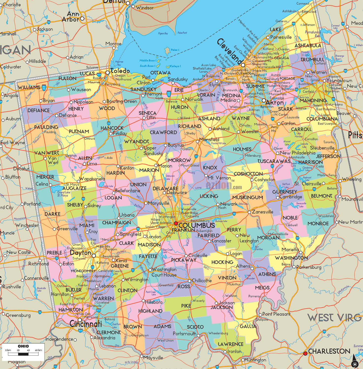
Ohio Map United States
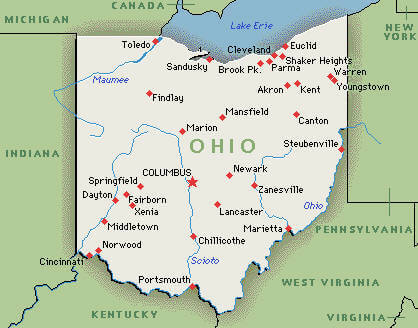
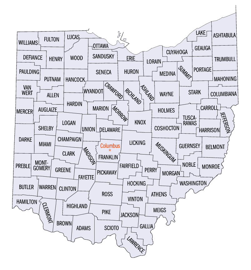
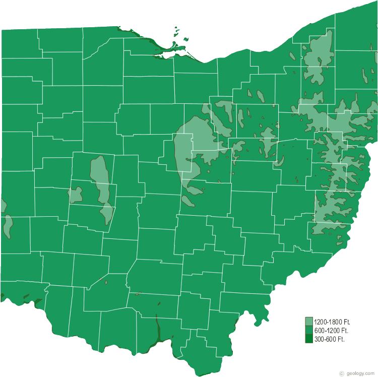
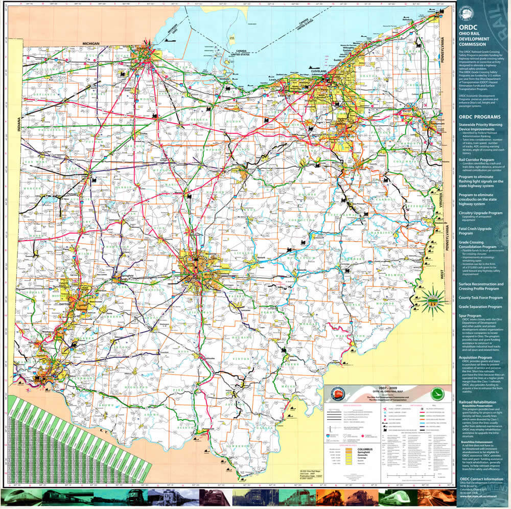
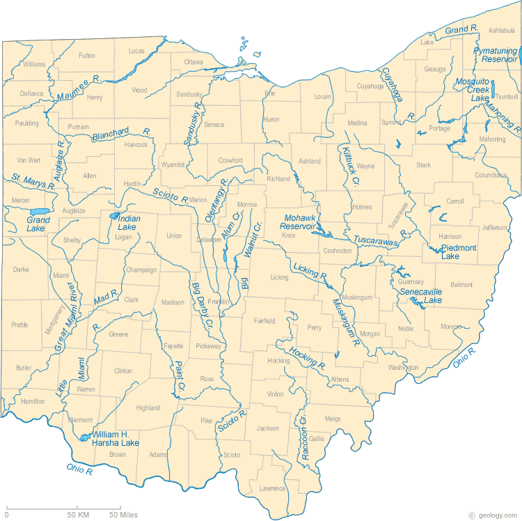
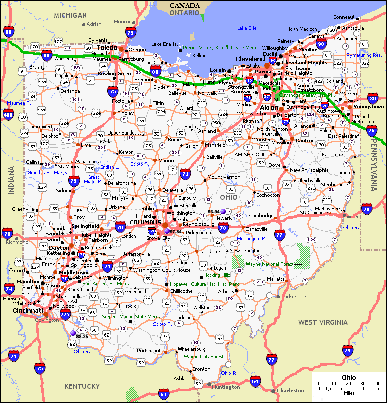
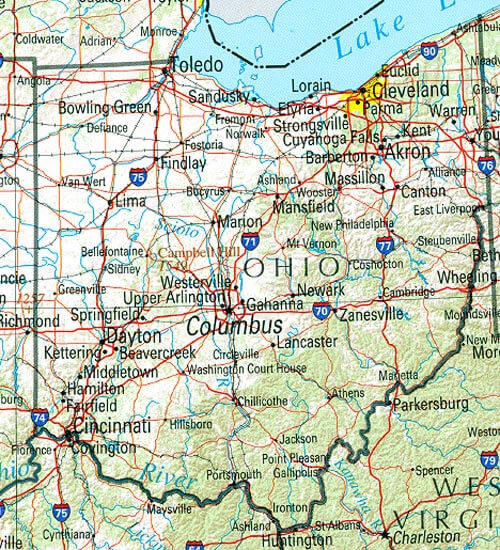
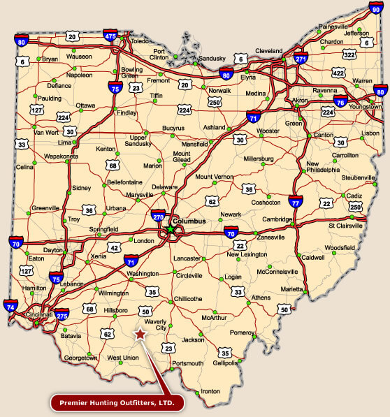
At Ohio Map United States page, view political map of Ohio, physical maps, USA states map, satellite images photos and where is United States location in World map.
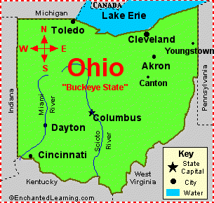
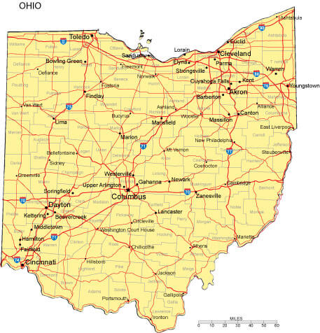
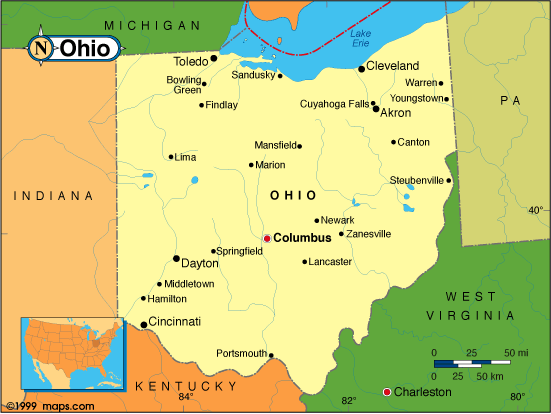
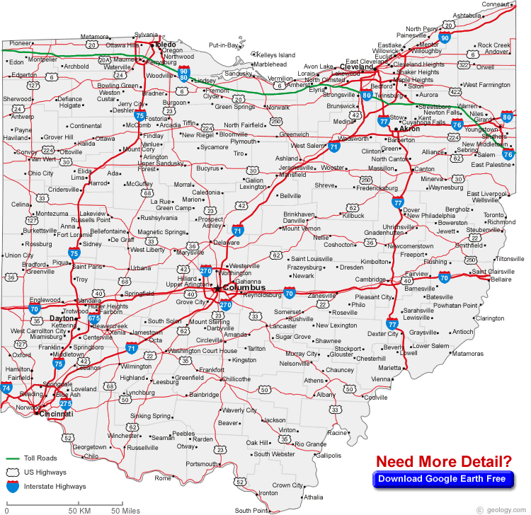
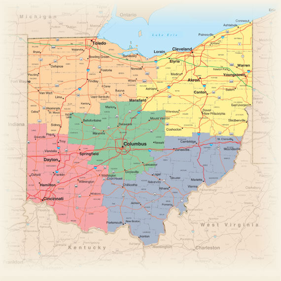
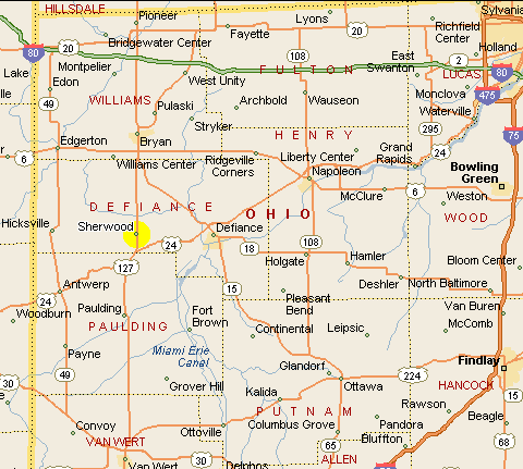
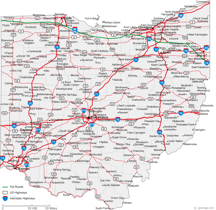
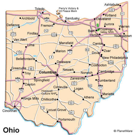
Ohio Map

Ohio Map Help
To zoom in and zoom out map, please drag map with mouse. To navigate map click on left, right or middle of mouse. To view detailed map move small map area on bottom of map. USA Ohio Map Loading...
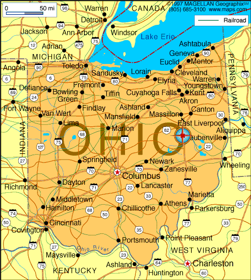

A collection Map of Ohio
Largest Cities Map of Ohio and Population
- Columbus Map - 787.033 - (39.961,-82.999)
- Cleveland Map - 396.815 - (41.499,-81.695)
- Cincinnati Map - 296.943 - (39.162,-84.457)
- Toledo Map - 287.208 - (41.664,-83.555)
- Akron Map - 199.110 - (41.081,-81.519)
- Dayton Map - 141.527 - (39.759,-84.192)
- Parma Map - 81.601 - (41.405,-81.723)
- Canton Map - 73.007 - (40.799,-81.378)
- Youngstown Map - 66.982 - (41.1,-80.65)
- Lorain Map - 64.097 - (41.453,-82.182)
- Hamilton Map - 62.477 - (39.399501, -84.561335)
- Springfield Map - 60.608 - (39.924227, -83.808817)
- Kettering Map - 56.163 - (39.689504, -84.168827)
- Elyria Map - 54.533 - (41.368380, -82.107649)
- Lakewood Map - 52.131 - (41.481993, -81.798191)
- Cuyahoga Falls Map - 49.652 - (41.133945, -81.484559)
- Euclid Map - 48.920 - (41.593105, -81.526787)
- Middletown Map - 48.694 - (39.515058, -84.398276)
- Mansfield Map - 47.821 - (40.758390, -82.515447)
- Newark Map - 47.573 - (40.058121, -82.401264)
Google Map, Street Views, Maps Directions, Satellite Images
GuideoftheWorld.net offers a collection of map, google map, atlas, political, physical, satellite view, country infos, cities map and more map of .
Copyright GuideofTheWorld.Net 2006 - 2025. All rights reserved. Privacy Policy | Disclaimer

